
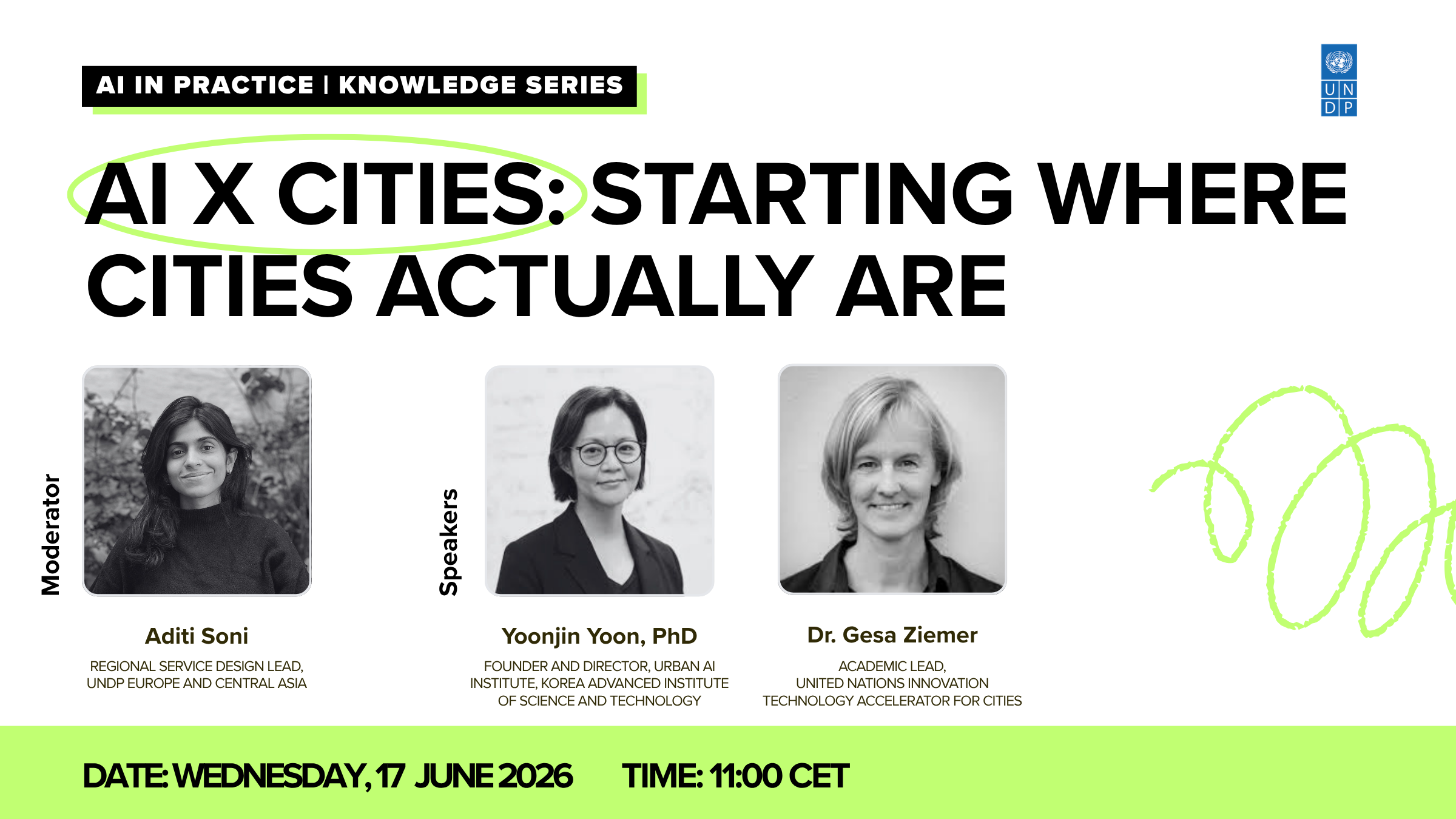
AI x Cities webinar series: Session 1 – Starting where cities actually are
While information about AI is abundant, space to make sense of what it means in practice is not. That gap between the global AI conversation […]

Currently, more than half of the world’s population lives in cities and the urban population is expected to double by 2050. Intense urbanization has led us to rethink human socio-economic development on a global scale with particular emphasis on the relationship between human beings, their footprint and the environment.
Cities and city regions today are at the forefront in both feeling the effects and fighting to offset the potentially catastrophic effects of climate change.
Cities are the biggest CO2 emitters globally, and therefore it is necessary to redesign their infrastructure, rethink consumption patterns and circularity.
In other words, the question we pose here is there a way to convert what they now expel, as waste or pollution, into raw material to feed new processes of production, and how can we make visible what is now invisible and informal in cities?
This entails innovative strategies of waste management, water conservation and recycling, renewable energy production and trading. It also involves implementing technologies for the filtration and re-metabolisation of air pollution. At the same time, we recognize that in each urban space there are layers of informality which supplement and complement existing public services – whether it is in water catchment, individual waste recycling, or in other forms – like decentralized construction. These dynamics, while an essential part of the tapestry of life in cities, are not always recognized. Yet, effective ways of addressing vulnerabilities demand utilization of the entire human and environmental systems in cities.
We can design resilient cities that use their size and collective energy to create refuge for both humans and displaced wildlife, that promote the emergence of positive microclimate, that replenish depleted water sources and that restore degraded terrains, pushing back on processes such as desertification, land erosion and contamination. This entails innovative strategies of urban re-greening and re-wilding as well as of urban agriculture.
A critical quality of urban planning today it to mobilize collective agency and intelligence to face the challenges ahead. In this way local solutions can be evolved in response to the given challenge.
In this recent collaboration with UNDP, ecoLogicStudio has been testing the potential of Artificial Intelligence to develop a new green planning interface. This planning solution combines the scalability of a sophisticated planning application to the design sensibility and intuitive accessibility of its design interface. This enables a high degree of customisation and evolution to each specific urban application, or urban design solution.
At its core, this application uses sophisticated algorithms to analyse hi-resolution data on urban landscape and infrastructure (mostly available open source) to produce simulated scenarios of sustainable urban development and a new way of urban planning – one that is dynamics, iterative and comprehensive.
These simulations have three key characteristics:
They are open to multiple external input, that is, all urban stakeholders can interact with several layers of data and see the effects of their actions on the proposed planning scenarios – and what we have used here is satellite imagery and open street maps.
They are time based and non-linear, and in that sense they enable all stakeholders to appreciate the effects of new policies and strategies systemically, across disciplines and planning regimes, being able to look at urban planning, at the same time as re-greening as well as mitigation of climate impacts.
They have a powerful visual and morphological output, thus enabling all stakeholders to visually appreciate the simulated urban form across several orders of scale.
As demonstrated by our test run with early adopter cities, such as Aarhus, Tallinn, Barcelona, Caracas, which were then applied in our joint project Vranje, Guatemala and Mogadishu, our design scenarios simulate the evolution of restorative urban networks.
This process questions traditional planning concepts such as zone, boundary, scale, typology and program. Such outdated notions actually constrain the emergence of a truly systemic approach to urbanisation, one that recognises the true nature of contemporary cities as complex dynamical systems – where built environment, and human systems interact regularly with green spaces.
This issue is most evident in the case of Guatemala City.
Guatemala City is situated on a complex and highly unstable terrain surrounded by mountains and volcanoes, some of which are still active. Its ecosystems, originally very rich in biodiversity, are now made fragile by unchecked urbanisation and, given its climatic zone, the effects of climate change.
In Guatemala City this scenario is exacerbated by a serious lack of waste management. The Guatemala city garbage dump is the biggest landfill in Central America containing over a third of the total garbage in the country. 99% of Guatemala’s 2,240 garbage sites have no environmental systems and are classified as “illegal.”
Only a new design methodology powered by big data gathering and the production of ad hoc algorithmic design scenarios can deal with such complexity and level of informality.
Our approach creates an interface between bottom up processes of self-organisation, such as the many local waste recycling activities that are emerging out of necessity in the areas closer to the dumping sites, and the strategic decision making that occurs at municipal, national and international level.
Read full article at Photo Synthetica.
RELATED POSTS
While information about AI is abundant, space to make sense of what it means in practice is not. That gap between the global AI conversation […]
Artificial intelligence (AI) is increasingly shaping how cities deliver services, manage infrastructure, and make decisions. For many municipalities across Europe and Central Asia, the challenge is not […]
Artificial intelligence (AI) is opening new possibilities for how cities deliver services, make decisions, and manage complex systems. For municipalities, the question is no longer whether AI […]